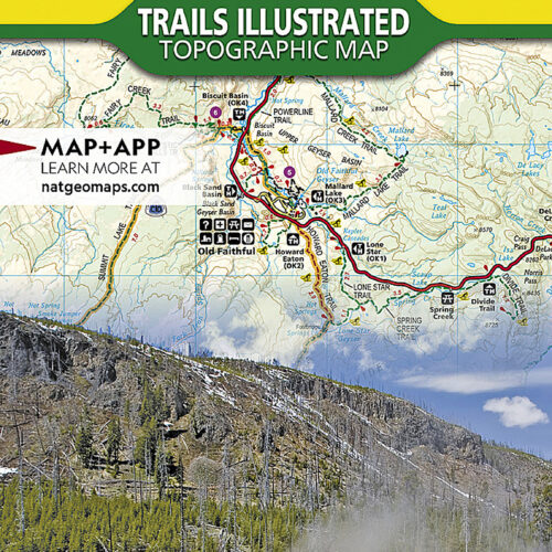
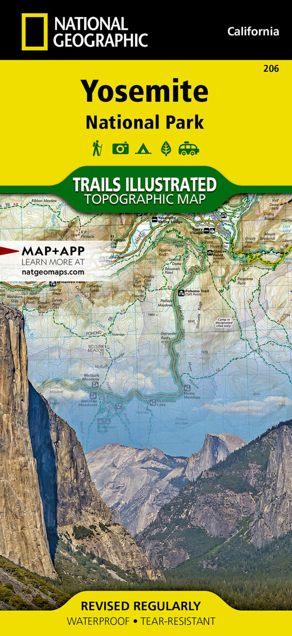
Yosemite is the sheet most people want after Yellowstone and Rocky Mountain, and this is the one to have. Trails Illustrated maps are made with the land management agencies that run the ground they show, printed on plastic-feel paper that survives rain and a rucksack pocket, and marked with the mileages between trail intersections so you can plan a day without guesswork. Coverage runs well beyond the park boundary into the surrounding national forests and wilderness areas, which is where many approaches actually start.
Key features
- Printed on waterproof, tear-resistant Backcountry Tough paper that folds into a pocket
- Full UTM grid across the map for working alongside a GPS receiver
- Contour lines, with elevations given for summits, passes and major lakes
- Almost 800 miles of mapped trail, with mileages shown between intersections
- Inset maps at larger scale for Yosemite Valley and Tuolumne Meadows
- Covers campgrounds, trailheads, river access, scenic overlooks and interpretive trails
Specifications
- Scales: 1:80,000 for the main map and 1:40,000 for the insets
- Folded size 4.25 x 9.25 inches; flat size 37.75 x 25.5 inches
- Weight: approximately 3 oz
- Coverage beyond the park: Stanislaus and Sierra National Forests, Inyo and Toiyabe National Forests, and the Emigrant, Carson-Iceberg, Hoover, Yosemite and Ansel Adams Wilderness areas
- ISBN 9781566952996, Trails Illustrated sheet 206, 2025 copyright
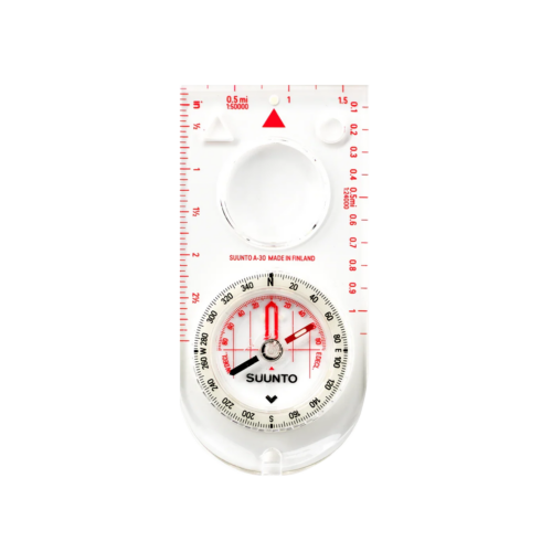
Keep its scale in mind. At 1:80,000 this is a park-scale planning and trail-following map, not a substitute for USGS 7.5-minute quadrangles if you intend to navigate off-trail in detailed terrain. Printed maps also age: trail closures, road openings over Tioga Pass, wilderness permit rules and campground status all change, so check them with the park before you travel. A map is only half the kit, too, and the other half is a compass you know how to set a bearing with.