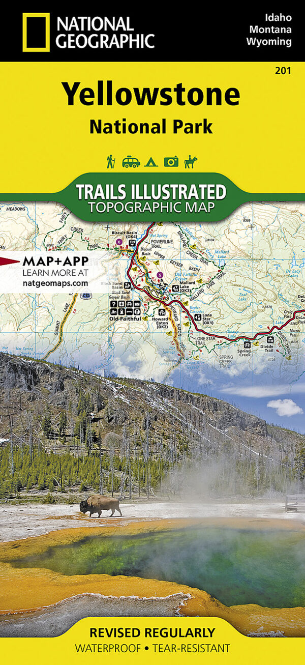
Trails Illustrated 201 is National Geographic’s topographic map of Yellowstone, putting the entire park on a single sheet together with the ground beyond its boundary. It is drawn for people who walk, ride or drive the park and want the terrain laid out in front of them, and it belongs in a preparedness kit for a plainer reason: it works with no battery, no signal and no software update.
Key features
- The whole park on one sheet, extending past the boundary to the Beartooth Mountains, Gallatin National Forest and the gateway towns of Gardiner, Cooke City and West Yellowstone.
- More than 1,000 miles of trail mapped, with the distance between junctions marked along the way.
- Summaries for a selection of walks, giving height gained, how long to allow and how hard the going is.
- Contours throughout, with spot heights for summits, passes and many of the lakes; Yellowstone Lake is mapped below the waterline too, its depths shown by contour and hill shading.
- Recreation symbols mark campgrounds and trailheads, boat ramps and marinas, interpretive trails and scenic overlooks.
- The places most visitors are heading for are named and located: Mammoth Hot Springs, Canyon Village, Yellowstone Falls, Grant Village and the Old Faithful geyser basin.
Specifications
- Series: National Geographic Trails Illustrated, sheet number 201
- Scale: 1:126,720, or one inch to two miles
- Flat size 37.75 x 25.5 in; folded size 4.25 x 9.25 in
- Weight: about 3 oz
- Printed on National Geographic’s “Backcountry Tough” waterproof, tear-resistant paper
- Full UTM grid printed across the map; current edition copyright 2022
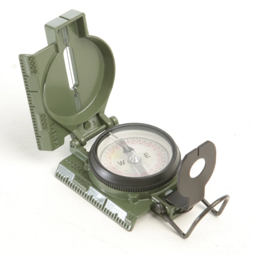
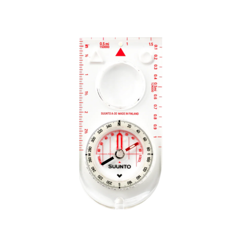
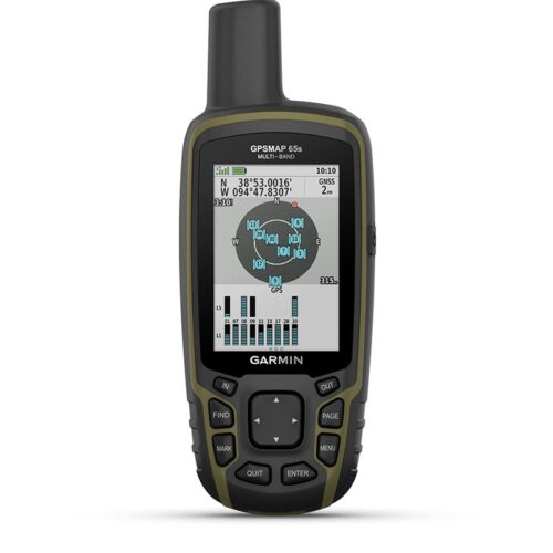
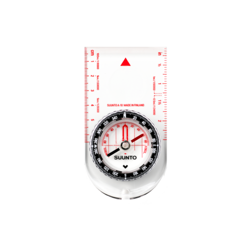
Carry it alongside a handheld GPS rather than instead of one, and be clear about what a map does. It shows you the ground; it does not tell you where you are standing. That still takes a compass and the practice to take a bearing, or the UTM grid read against a GPS. At one inch to two miles the detail is coarser than a dedicated quadrant sheet, which is the fair trade for covering a park this size on one map; National Geographic publishes larger-scale sheets if you are working a single corner closely. The waterproof printing stands up to rain and rough handling, but it is not indestructible, and trails, closures and road conditions change between editions, so check current conditions with the park before you set out.