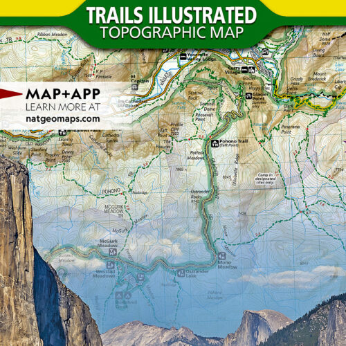
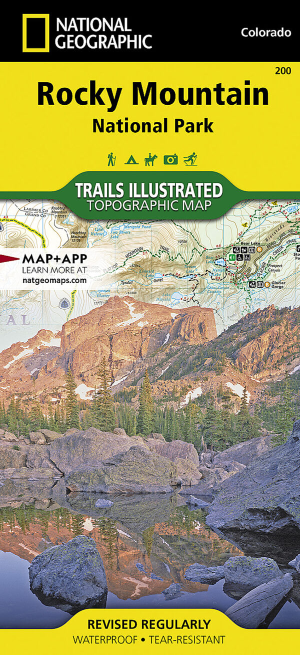
Trails Illustrated 200 covers Rocky Mountain National Park and its surrounds on one sheet at 1:50,000, a closer scale than the whole-park sheets National Geographic draws for the larger parks, so individual drainages and trail junctions stay easy to read. It suits anyone working out of Estes Park or Grand Lake in any season, and anyone who wants the terrain on paper as well as on a screen.
Key features
- Takes in the park together with the adjoining Arapaho, Routt and Roosevelt National Forests, the Never Summer and Comanche Peak Wildernesses, and a stretch of the Continental Divide Trail.
- Over 400 miles of mapped route, marked by use: foot, horse, cross-country ski, snowmobile, mountain bike and ATV.
- Trail Ridge Road and Longs Peak are mapped, along with Estes Park, Grand Lake, Lake Granby and Stones Peak.
- Contours throughout, with heights given for summits, passes and the major lakes.
- Symbols for campgrounds and trailheads, boat launches, fishing access, interpretive trails and places to hire a horse.
- Researched with the local land management agencies, and built for winter use as much as summer.
Specifications
- Series: National Geographic Trails Illustrated, sheet number 200
- Scale: 1:50,000
- Flat size 37.75 x 25.5 in; folded size 4.25 x 9.25 in
- Weight: about 3 oz
- Printed on National Geographic’s “Backcountry Tough” waterproof, tear-resistant paper
- Full UTM grid for use with a GPS; current edition copyright 2022
The argument for carrying a topographic map in paper is a narrow one, and worth stating plainly: it needs no battery, no signal and no charged phone, and it goes on working when the weather is wet. The honest limit applies to every map, this one included. It shows the ground but not your position, so pair it with a compass you can take a bearing on, or read its UTM grid against a handheld GPS. Permits, timed entry, trail closures and the seasonal opening of Trail Ridge Road change from year to year and are not printed here, so check with the park before you travel.